Für statistische Zwecke und um bestmögliche Funktionalität zu bieten, speichert diese Website Cookies auf Ihrem Gerät. Das Speichern von Cookies kann in den Browser-Einstellungen deaktiviert werden. Wenn Sie die Website weiter nutzen, stimmen Sie der Verwendung von Cookies zu.
Cookie akzeptieren
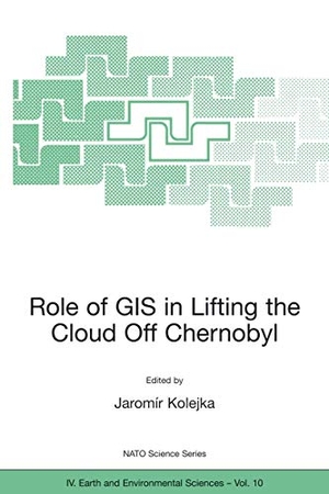
Role of GIS in Lifting the Cloud Off Chernobyl
- Springer Netherlands
- 2002
- Taschenbuch
- 176 Seiten
- ISBN 9781402007699
The 15th anniversary of the Chernobyl nuclear power plant disaster offered a timely opportunity for an expert assessment of the current situation and suggestions for approaches to managing the information associated with the site and surrounding contaminated territories. The great quantity of data coming from the contaminated region was and is very difficult to use without he aid of modern information technologies, especially Geographic Information Systems (GIS) and Remote Sensing (RS). Application of these technologies, and related expertise, became crucial to the region's economic recovery and sustainability planning. Given the real possibility of a similar accident at nuclear facilities elsewhere around the world, the development of
Mehr
Weniger
zzgl. Versand
in Kürze